See the whole picture.
Explore the city, masterplan and amenities so buyers understand the place around their future home.
 Book a demo
From a global portfolio to the details of a home. Connect discovery, immersive exploration and your sales team in one experience.
One platform. Every stage of discovery.
Bring your countries, cities, developments and residences together. Interactive World lets buyers explore the setting, understand the lifestyle and find the home that fits.
Connect that interest to your sales team through integrated enquiries and CRM. Keep the experience current with a developer portal for your content, media, units and leads.
Designed for discovery
Give buyers the context to choose, and your sales team a connected way to present every possibility.
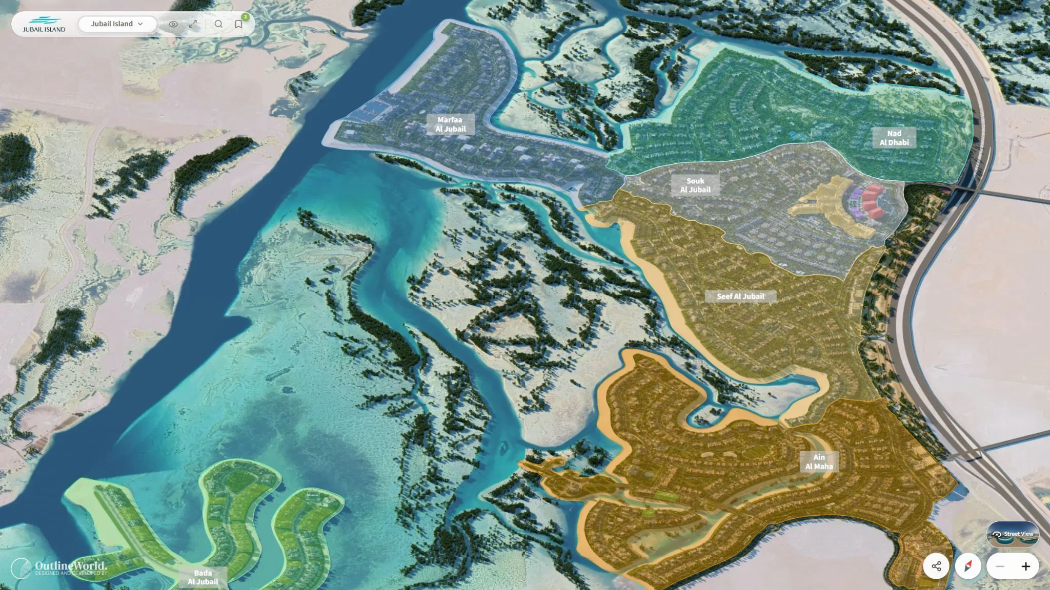 Explore the detail
 Explore the city, masterplan and amenities so buyers understand the place around their future home.
Filter and compare units, review floor plans and continue into a virtual tour.
Discover views, orientation and changing light through real-time 3D exploration.
Connect enquiries to your CRM and manage content, units and leads through the developer portal.
The platform in practice
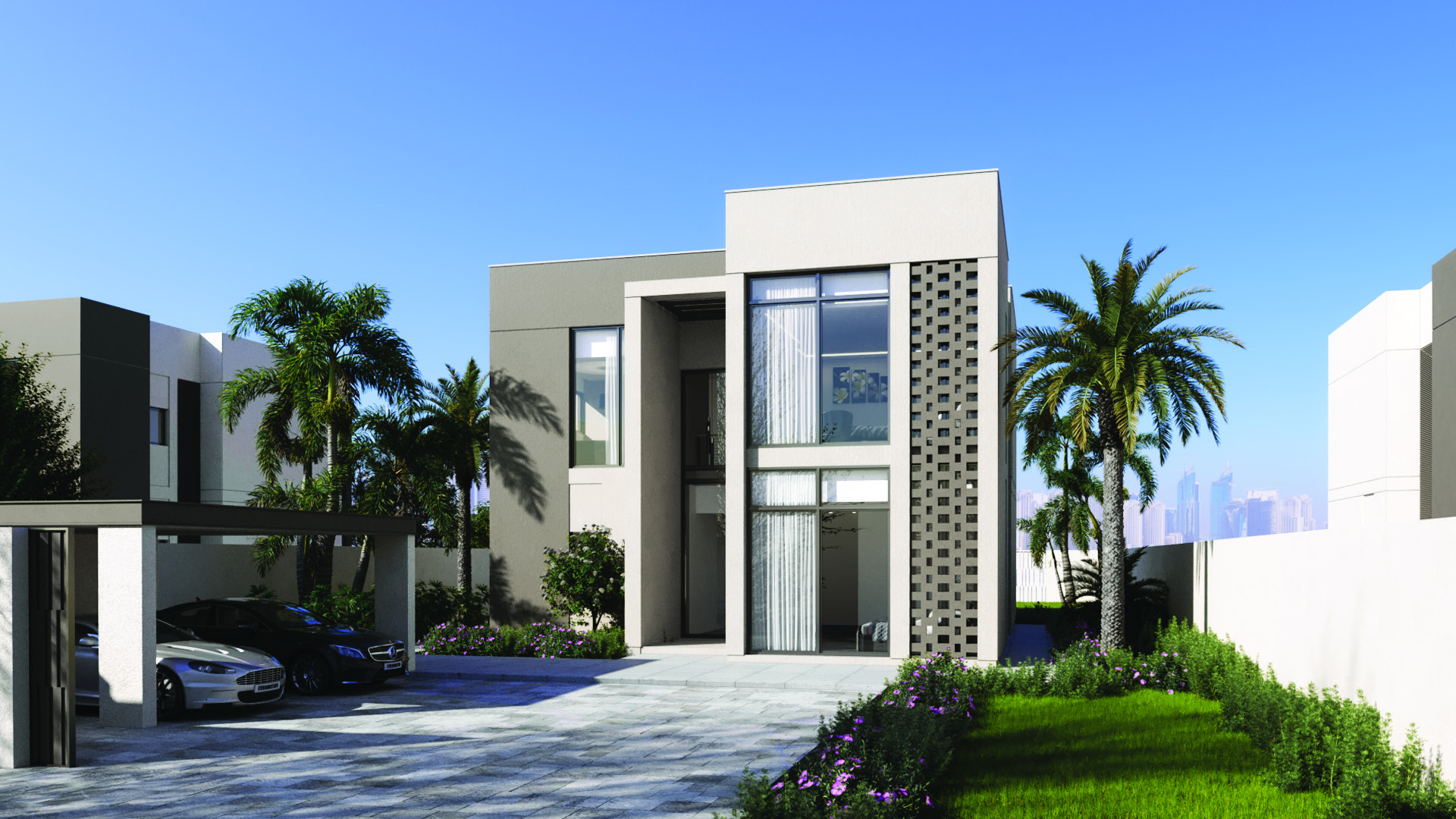

Jubail Island · Abu Dhabi
See how location, masterplan exploration, amenities, unit selection and immersive views connect within the Jubail Island experience.
Architectural visualization by Outline WorldThe studio behind the platform
Founded in Dubai in 2022, Outline World brings years of interior and exterior visualization, 3D animation and architectural storytelling to Interactive World.
We understand how to make an unbuilt place feel real. The platform takes that understanding further, putting the experience in your buyer’s hands.
Meet Outline WorldYour development. Experienced in full.
Book a guided demonstration with Outline World.
Explore what Interactive World can do for your development.